Click to see map
| ← Day 2 | Civetta-Moiazza Tour |
|---|
August 9, 2026
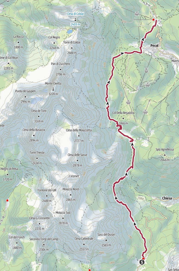
## Route of the day
The Moiazza at dawn, from Rifugio Passo Duràn.
We leave Rifugio Passo Duràn at 8:00, not before we pet the donkeys. 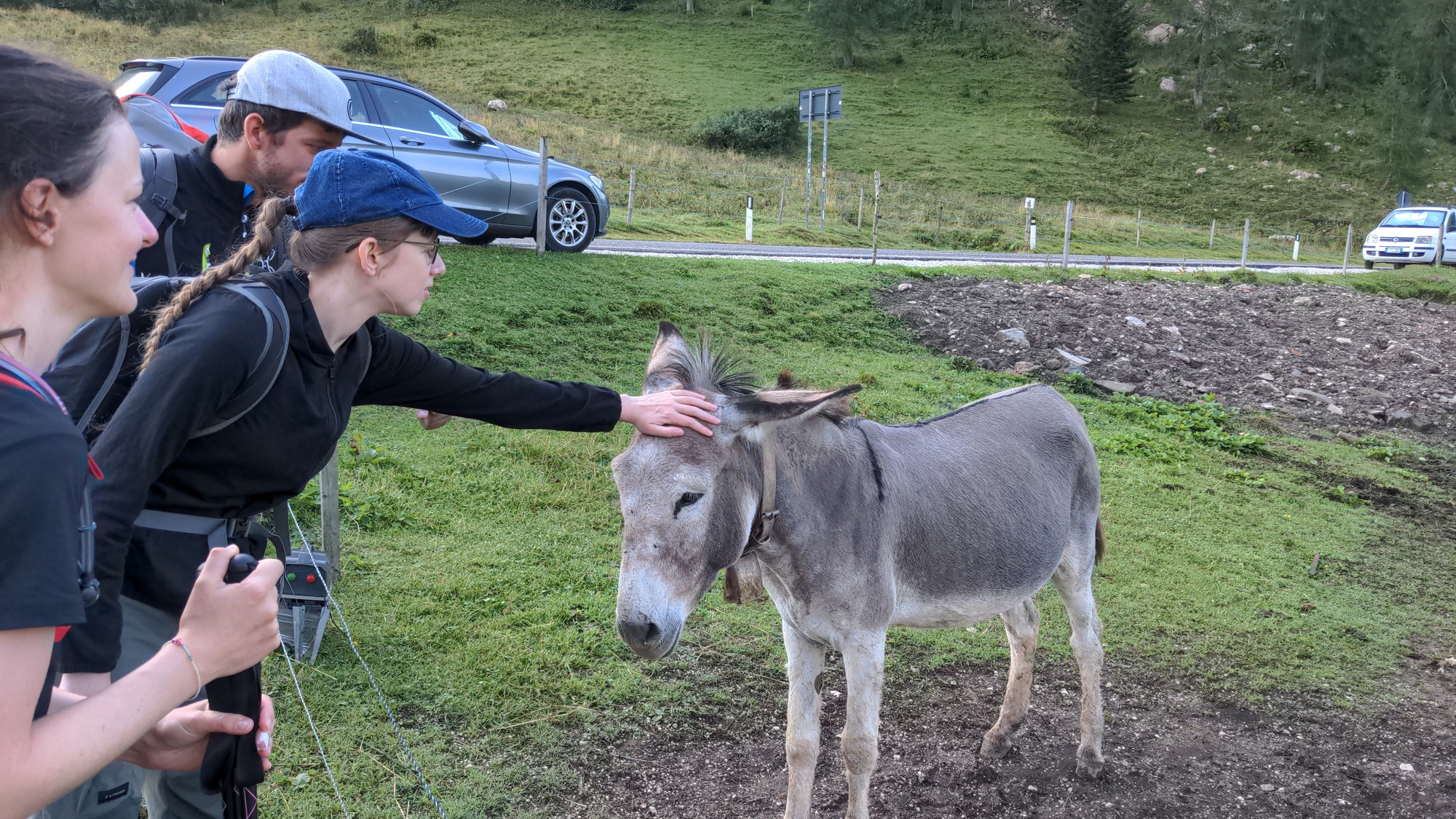 We walk a hundred meters or so on the main road and then turn left at Rifugio San Sebastiano, the other hut in the area. We take trail 578, going from meadow to forest. Here we have to focus to take the correct trail, as there are many tracks that lead more or less in the same direction. At 8:45 we are at a crossroads, and we take the right on what I believe is another branch of trail 578 (not the one marked as *Sentiero Angelini*). The trail goes down steeply. Shortly afterwards we turn left, on an unnumbered trail, marked with a dashed black line on our map. 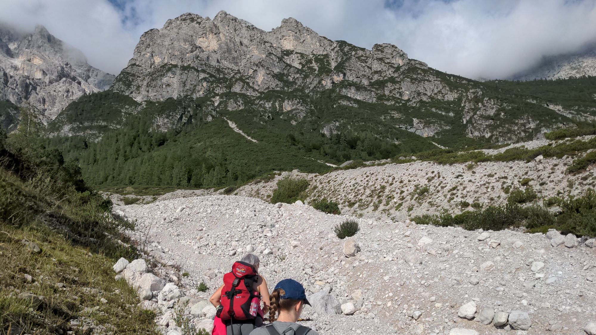Around 9:15 we are briefly out of the forest, and we walk past this picturesque couloir.
At 9:25 we reach an abandoned football field at 1290 meters on sea level, which now is more likely used as an [apiary](https://en.wikipedia.org/wiki/Apiary). This is the lowest altitude we reach in the whole tour. We now take a narrow trail that goes up in the woods. Soon it becomes extremely steep. This trail is called *Triol dei brusolai*, acoording to our maps, which in the local dialect should mean something like "trail of the roasted ones". No idea why. 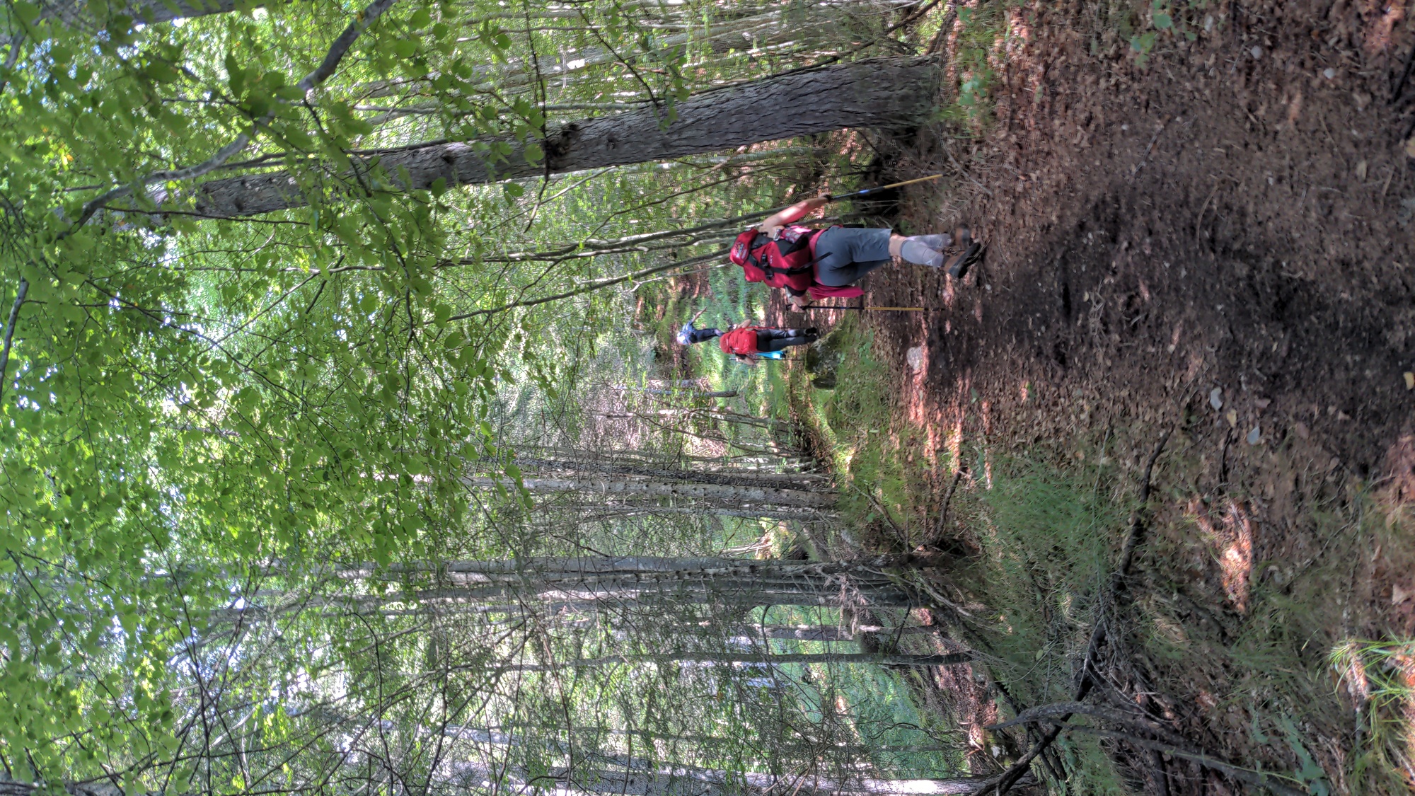Triol dei Brusolai.
At 10:15, after an exhausting uphill walk, we are back to trail 578, which we follow again next. Along this path there are plenty of wild strawberries and raspberries, and we eat a bunch of them. At 11:00 we reach *Casera de la Grava* (1627m). We were hoping we could buy some food here, but the place is privately owned, they don't sell anything. So we walk past it, looking for a spot where we can sit down and eat our protein bars; we find it at 11:30. 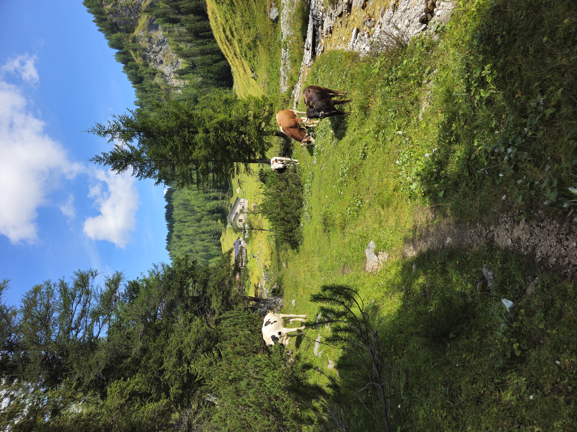Casera de la Grava, and some cows in the foreground.
We get up and leave at 11:55, headed to *Forcella de la Grava* (1784m), which we reach in about 20 minutes. From here we take trail 557 and then trail 587, slowly going up to *Col de la Grava* (1900m). This is the highest point we will reach today, and there is a nice view on the Zoldo Dolomites. 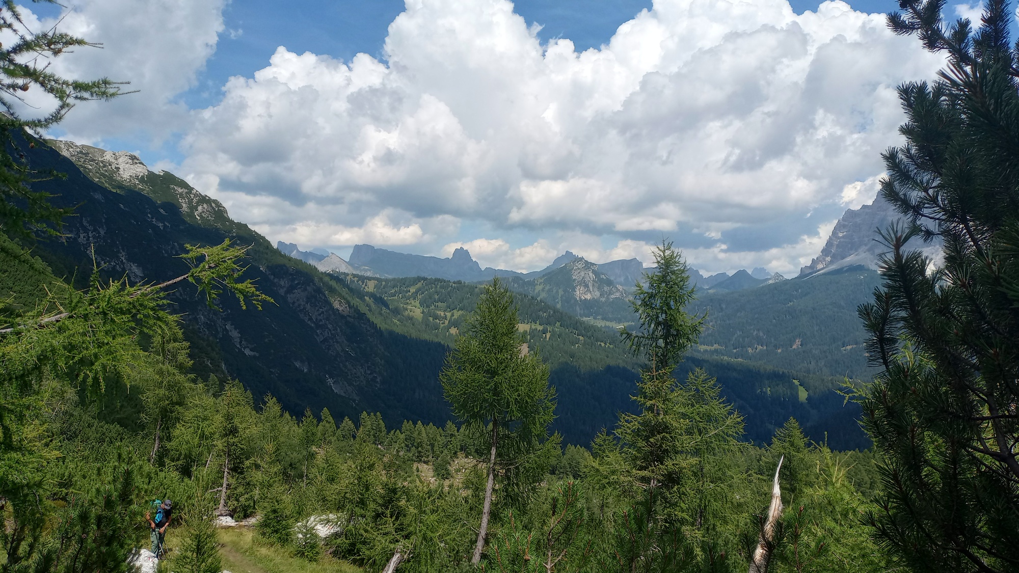 Soon afterwards the path start going downhill. We follow it until it becomes a dirt road (marked as trail 586), and we reach Pécol (1400m) at 14:25. ## The last stretch The journey is almost over now. Before walking back up to our cars, we decide to enjoy a longer break. We order a couple of radlers at a local bar. 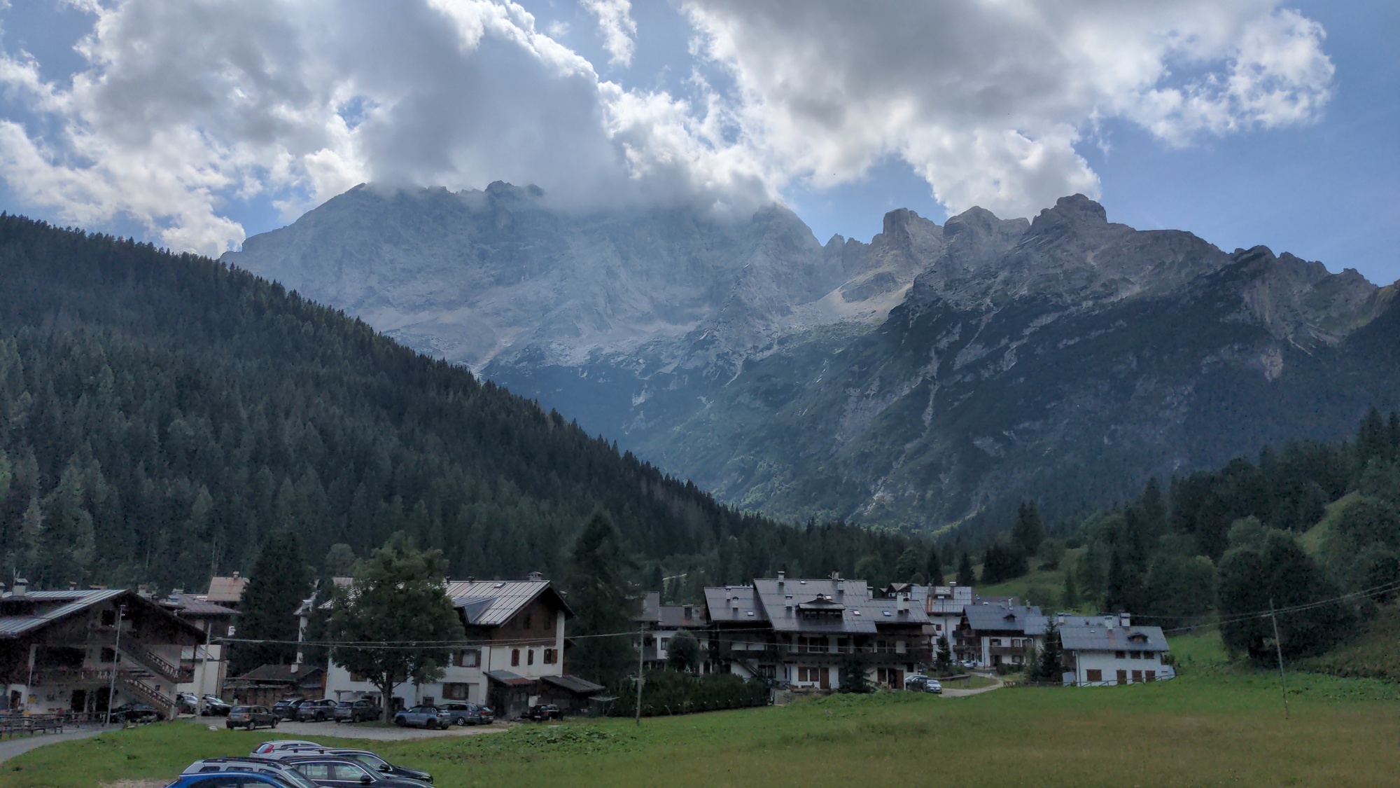Pécol, with the Civetta in the background.
At 15:00 we leave Pécol. The trail to Palafavèra is right next to the main road, not the most scenic of trails. But we need to get back to our cars, and all alternatives are at least a couple of hours longer. We arrive at Palafavèra, tired but satisfied, at 15:40. 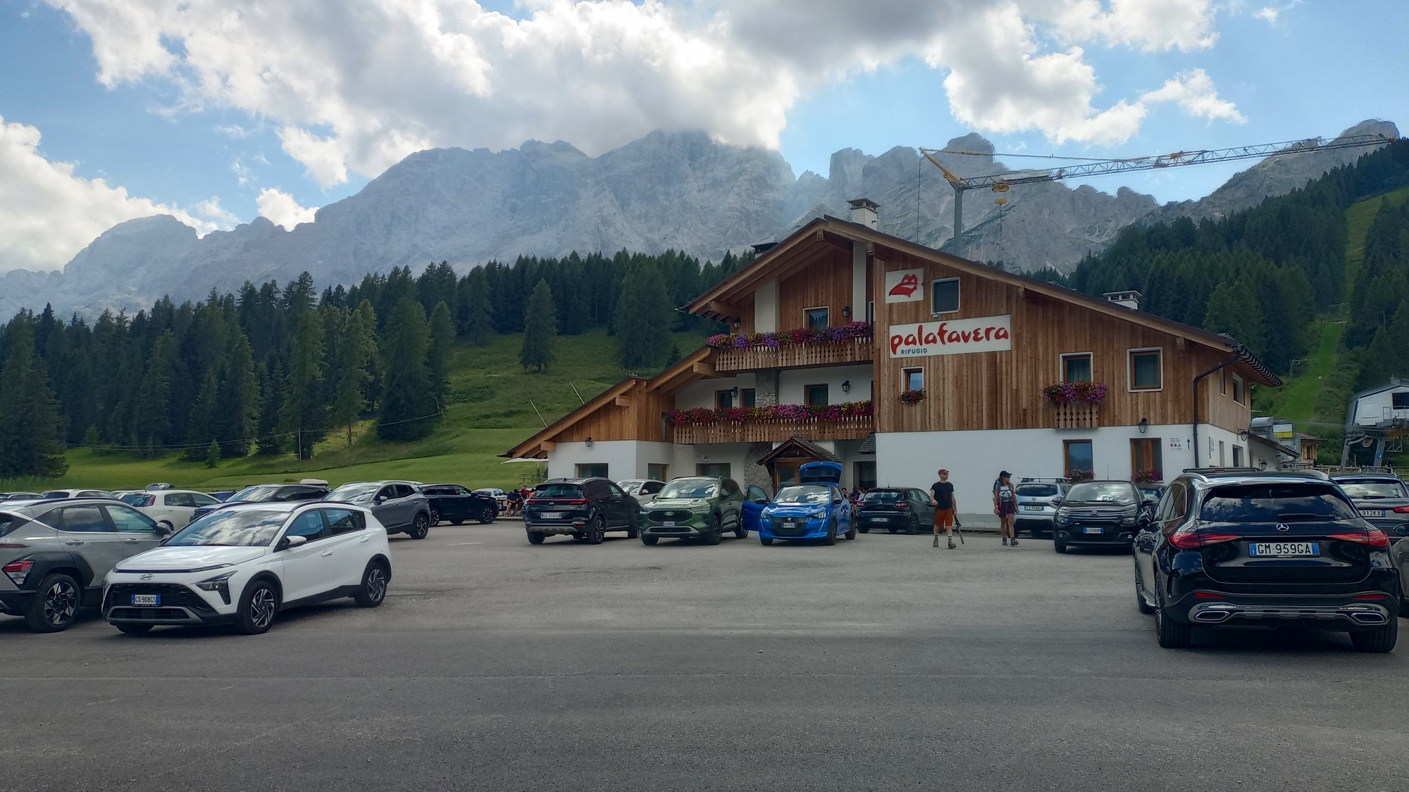Rifugio Palafavèra with the Civetta in the background.
And this concludes our journey! Definitely more accessible and less painful than [last year's 9-day adventure](../../av2), but a beautiful trip nonetheless.| ← Day 2 | Civetta-Moiazza Tour |
|---|