Click to see map
| ← Preparation | Alta Via 2 | Day 2 → |
|---|
August 20, 2025
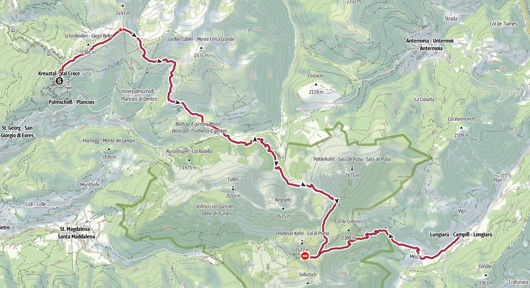
## Route of the day
My dad and I, ready to start hiking.
By the time we reach Kreutztal (2000 meters on sea level), park the car and put on our rain clothes, it is already 9:30. And this is going to be one of the longest days, at least according to our estimates. The [Plosehütte](https://www.plosehuette.com/en/) (2447m) is not far, and we reach it pretty quickly. Unfortunately, it is closed for renovations, and we can't even get close enough to take a picture of our first checkpoint. At least the view from up there is... something. The Odles surrounded by clouds.
The clouds came and went, but this is pretty much the clearest the skies have been the whole morning. Besides the cold and the rain being unpleasant, the low visibility gave us some technical difficulties: right after passing by the hut, we found ourselves on a grassy slope and we lost the track. In normal conditions we would have been able to look out for the next trail marking, but with this thick fog we were forced to double check our GPS and our maps. ## Down through the forest, then up again Luckily, it did not take us long to find the right way, and we kept descending in a [larch](https://en.wikipedia.org/wiki/Larch) forest. A trail in a forest between Plosehütte and Schlüterhütte - Rifugio Genova.
The descent is pleasant. We even manage to catch some break from the heavy rain, and take a few more pictures of the Odles. 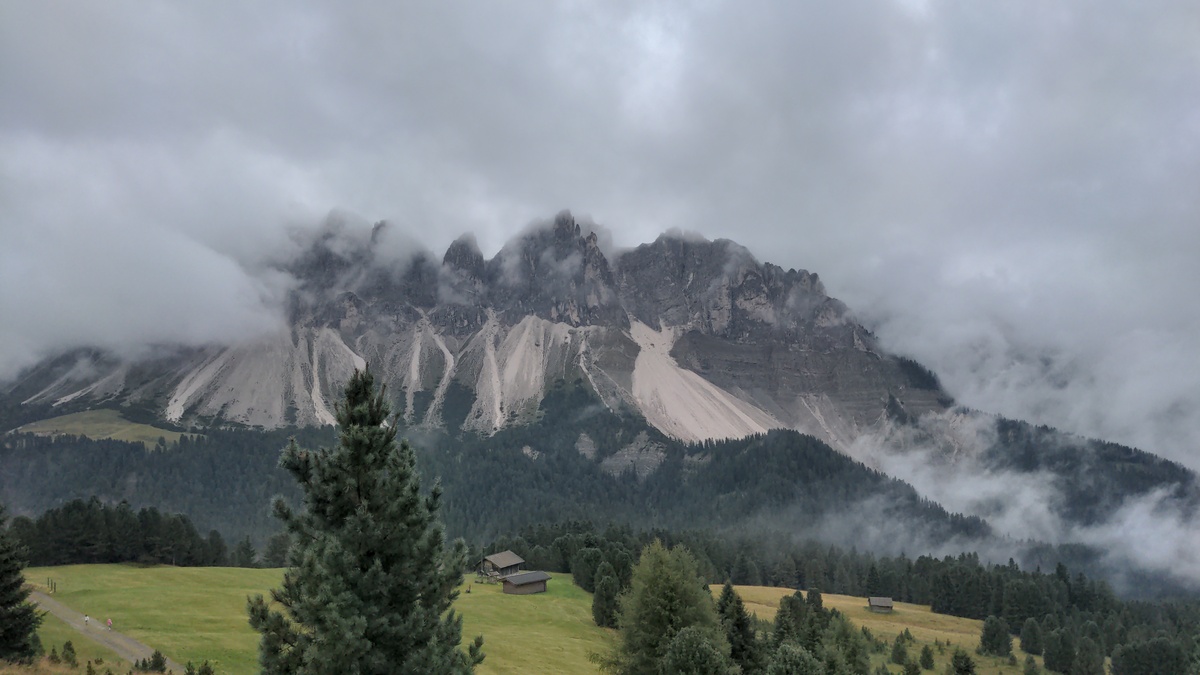 We reach the Rodella Pass (1867m) at around 13:00, and from there we walk up to [Schlüterhutte - Rifugio Genova](https://www.schlueterhuette.com/en/) (2297m). I did not take many notes of this part of the journey, there was too much rain for me to take out my journal and write. As the trail is crossed by a stream of water, we have to pass a short challenging section, where we are forced to climb on the wet rock. The climb itself is not hard, but the trail is not clearly marked at that point, which left us wondering if we were doing the right thing. We are then blocked by a more difficult trail feature: cows. 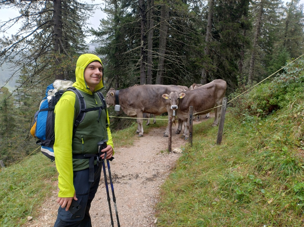Cows are blocking the road. Yes, that little gap is the only way forward.
After overcoming this zoological obstacle, we reached the Schlüterhütte - Rifugio Genova at 16:00 and we stop for a slice of [*Apfelstrudel*](https://en.wikipedia.org/wiki/Apple_strudel). 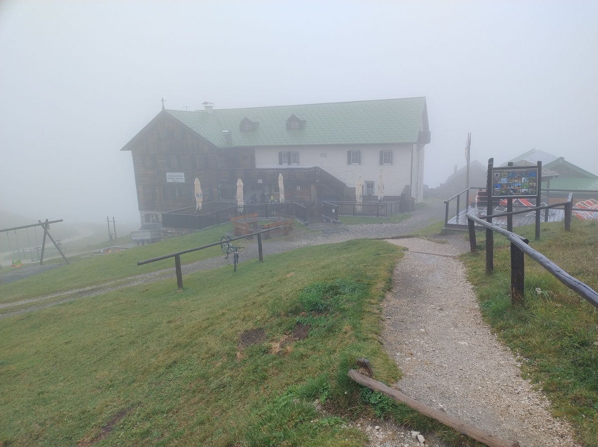Rifugio Genova - Schlüterhütte in the fog.
## The long descent to the village At 6 hours and 30 minutes of hiking, this would have been a good first day. But unfortunately we cannot stop here. At 16:30 we begin the long descent towards Lungiarü (1398m). Down there, that's where we have to go. Do you see it? Me neither.
We walk for two hours in the rain and the fog before reaching the village. Two hours may not sound like much, but it felt like an eternity. Just before the village, we pass by a place called [*Val di Morins*](https://www.alta-badia.org/en/highlights/sights/val-di-morins-mill-valley/), which means "Mill Valley" in Ladin. 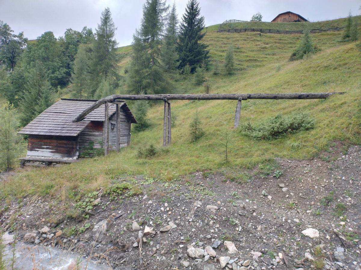A watermill. In this area it was common to build half-pipes with larch trunks to lead the water to the mill.
The village of Lungiarü, in [Val Badia](https://en.wikipedia.org/wiki/Val_Badia), is quite nice, but we have no energy left for sightseeing. All we can do before falling asleep is a shower, dinner, and trying to dry our clothes for the next day.| ← Preparation | Alta Via 2 | Day 2 → |
|---|